

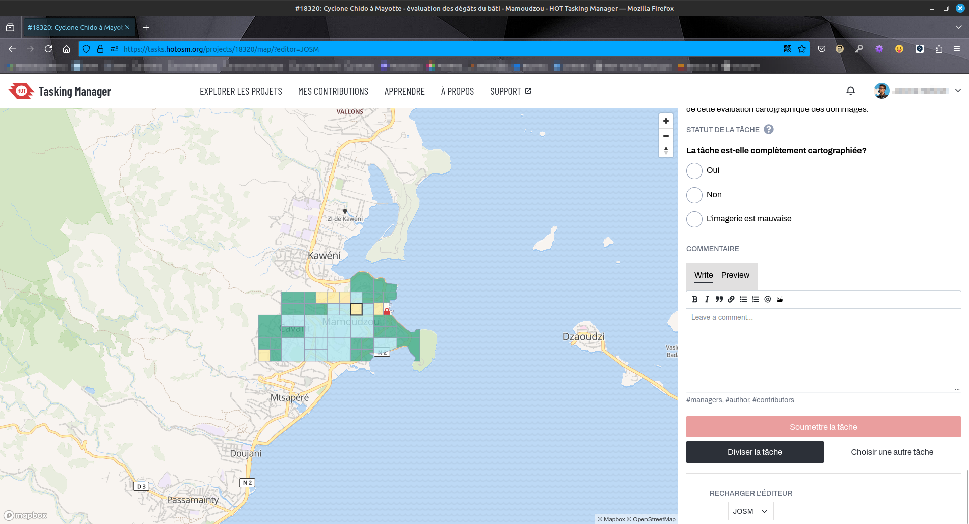
🌀 :openstreetmaps: Travaux d’évaluation des dégâts sur #Mayotte sur #OpenStreetMap via #HOTOSM. État de destruction de chaque bâtiment évalué (🟢 aucun, 🟡 minimal, 🟠 important, 🔴 complet). Outil : #JOSM. Photos post-cyclone fournies pas le #CNES #Airbus.
🔗 URL projet : https://tasks.hotosm.org/projects/18320/tasks/
👋 @openstreetmap@en.osm.town @osm_fr @openstreetmap@lemmy.ml
#️⃣ #humanitarian #humanitaire #OSM #climate #climat #solidarité #logicielslibres #opensource #freesoftware #FOSS #FLOSS #cartographie #cartography #hurricane #HOTOSM
You must log in or register to comment.